Vajad kellegagi rääkida?
Küsi julgelt abi LasteAbi
Logi sisse

FORMATION OF MEDIEVAL kARELIA (0)

1 Hindamata
Punktid
FORMATION  OF MEDIEVAL 
kARELIA
WHAT WAS  BEFORE   MIDDLE   AGES
WHAT  CHANGES   OCCURRED WITH IT 
HOW KARELIA LOOKED LIKE WHEN NEW 
ERA DAWNED IN  16th   CENTURY

GEOGRAPHY  OF KARELIA 
AND ITS RELEVANCE
Click to edit Master text styles
Major  changes in prehistoric  times  in 
Second level
Karelia
Third level
Transgression of  Ladoga
Birth  of Vuoksi 3700 BCE
Fourth  level
Birth of Neva 1300 BCE
Fifth level
Land  rise  during   entire   period  from Ice Age  till  
todayleading  most notably to changes in 
Vuoksi  river ’s flow
Crossroads of trading routes
White Sea/ Arctic   Ocean
Upper  Volga / Caspian  basin
Baltic  Sea basin
Dnepr /  Black  Sea basin
Daugava
Waterways: 
Gulf of  Finland , Ladoga, Onega, White Sea, 
Neva, Vuoksi, Svir, Volkhov, Vytegra, 
Uiku/Vyg.  Network  of waterways like Saimaa 
in  present  day Finland
ARCHAELOGY
Click to edit Master text styles

Very few findings 300­700 CE
Second level

Development  of agriculture from 
6th/7th Century onwards with 
Third level
new crops and techniques, which 
Fourth  level
enabled  considerable  population 
Fifth level
growth

After 750 CE findings  increase

Typical  feature in findings: 
Mixture of  cultural  influences 
from  EastWest  and  South  but 
also  local   features  common. 
Problem: Items do not  speak , so they 
do not  tell  much about people and not 
even  where they were manufactured; 
were they locally made or imported.
copper  cauldron  found  in 1892 in 
Sakkola, Karelian Isthmus
SPREAD OF KARELIANS
Heartlands  around  Lake Ladoga and Kareliand Isthmus
Karelian people and culture did have larger  spreading  from Arctic Ocean to lake 
Ilmen, from shores of lake Saimaa in present day Finland to Beloye Ozero in  Russia
Karelians’ settlements were also  predominant on the shores of White Sea,  along  
northern  Dvina and in the northern  part  of Gulf of Bothnia.
Povest vremennykh let (also called  Nestor ’s Chronicle) speaks of the White Sea Karelians 
as  zavolodskye  chudy , ”Chuds in Hinterland”
ALDEIGJUBORG­LAATOKANLINNA
First  town in Karelian lands
Importance  declined after rise of  Novgorod  
•Major trading  centre , existed  already  753 
in  10th  Century, subjugated to Novgorod 
CE
after period of  Swedish  Earldom in  11th  
•Earliest  Arab  coins from 786 CE
Century, regressed from town into a mere 
•Controlled trade along Volkhov and was 
fortress
major East/West hub
•Burnt in 860 possibly in  domestic  strides of 
•Ladoga/Volkhov route  started  
Rørik and  other  old Dukes.
substituting Daugava route in 7th Century
•Attempt to  conquer  by Swedes 1164
•Exact population composition unknown, 
•Burnt in  1313  by Swedes
but  included   Finnish , Scandinavian and 
later  also Slavonic elements
•Finnish component included Karelian, 
Veps, Votic and probably Estonians and 
maybe even other tribes, but not  known  
to which  degree  they had by that time 
acquired  separate  linguistic /cultural 
identities beyond the one deriving from 
their home area
CORE FINDINGS 800­1300 CE
Few  CLEAR  CONCENTRATIONS OF 
DOESN’T  MEAN  ELSEWHERE HAD BEEN 
POPULATION
EMPTY, JUST NOT FOUND YET
Click to edit Master text styles
Second level
Second level
Third level
Third level
Fourth level
Fourth level
Fifth level
Fifth level
KURKIJOKI
Remarkable centre of medieval 
Maybe even phonetically Kirjalabotn = kureojala 
karelia
 kurkijoki
Click to edit Master text styles
Second level
Second level
Third level
Third level
Fourth level
Fourth level
Fifth level
Fifth level
KÄKISALMI­KORELA­KEXHOLM
Käkisalmi was karelian centre  controlling  
Swedish name Kexholm probably 
Ladoga estuary of Vuoksi and trade  through  it
abomination of karelian idiomatic 
käksalm, kägösalm
Click to edit Master text styles
Around 1100­1300 indisputably main 
Second level
town in Karelia
Third level
Fourth level
Fifth level
Click to edit Master text styles
Second level
Third level
Fourth level
Fifth level
VIBORG / VIIPURI
Important  trading post  since  11th Century
Gulf of Finland estuary of Vuoksi
Incorporated to  sweden  1293,  stone   castle   built
End of Middle Ages one of two major cities in Finland, 
only one  surrounded  by a stone  wall , 1470
TOWN privileges latest 1403
Click to edit Master text styles
Second level
Third level
Click to edit Master text styles
Fourth level
Second level
Fifth level
Third level
Fourth level
Fifth level
CHRISTIAN  KARELIA
Long  process  of christianization, till 16th century
Monasteries,  above  all  valamo
played important  role
Click to edit Master text styles
Second level
Second level
Third level
Third level
Fourth level
Fourth level
Fifth level
Fifth level
INCORPORATION OF KARELIA TO 
NOVGOROD REALM
Loose Alliances from 1100 till 
As Part of Novgorod and (from 
1227­1290
1478 ) Muscovy
Novgorod supports spreading of 
1311 Campaign to Tavastia, destruction 
Orthodox Christianity in Karelia
of Vanaja
1187 Karelians  sail  to Sweden with 
1318 Turku/Åbo Kustö Bishop’s castle 
Estonians to  destroy  Sigtuna
burned
Attack to Tavastia 1227 as well as 
Uprise of Käkisalmi 1337, last known 
forceful ”Christianization 
serious  challenge of Novgorod
campaign” in Karelia
1360 Stone Fortress in Käkisalmi
Feudalism  slowly crept in together with 
1240 Ingrian chieftain Pelgusij 
serfdom since  14th  Century
alleged with Novgorod against 
Replacement of Karelian  language  
Swedes
with  Russian
1260 Novgorod was not 
guaranteeing safety of  German  
vessels on Karelian waters
SWEDISH KARELIA
UNTIL  NÖTEBORG  PEACE  
TREATY  1323
AFTER 1323
Swedish  attempts  to gain foothold 
Not settling with border on Karelian 
were  frequent  since Swedish realm  Isthmus
came  to  exist  around 1000.
Karelians on Isthmus  divided  in two 
Attack on Aldeigju~1164
realms and religions
Frequent skirmishes despite existing 
Invasion to Neva 1240
peace treaty, Karelians fighting 
1256­1257 Narva mouth campaign
Karelians
”3rd Crusade” to Viborg 1293, 
Destruction of Tiuri/Tiversk castle in 
castle
Räisälä 1411
1294 conquest of Korela
Peasants essentially free, no 
Foundation of Landskrona on Neva  feudalism or serfdom
1300
No new peace treaty till 1595 though 
Constant  battles  till peace treaty
de  facto   shift  of border to the east
OLAUS  MAGNUS : CARTA  MARINA  1539
Click to edit Master text styles
Second level
Third level
Fourth level
Fifth level
Distortions reflect subjectivity and thus tell us a lot from the times, Neva not important but Gulf of Viborg is. White Sea marked  close  to Gulf of Bothnia and as a lake. Gulf of Finland longer  than  in reality.
Links :

Document Outline

  • Slide 1
  • GEOGRAPHY OF KARELIA AND ITS RELEVANCE
  • ARCHAELOGY
  • SPREAD OF KARELIANS
  • ALDEIGJUBORG-LAATOKANLINNA
  • CORE FINDINGS 800-1300 CE
  • KURKIJOKI
  • KÄKISALMI-KORELA-KEXHOLM
  • VIBORG / VIIPURI
  • CHRISTIAN KARELIA
  • INCORPORATION OF KARELIA TO NOVGOROD REALM
  • SWEDISH KARELIA
  • OLAUS MAGNUS: CARTA MARINA 1539
  • Slide 14
Vasakule Paremale
FORMATION OF MEDIEVAL kARELIA #1 FORMATION OF MEDIEVAL kARELIA #2 FORMATION OF MEDIEVAL kARELIA #3 FORMATION OF MEDIEVAL kARELIA #4 FORMATION OF MEDIEVAL kARELIA #5 FORMATION OF MEDIEVAL kARELIA #6 FORMATION OF MEDIEVAL kARELIA #7 FORMATION OF MEDIEVAL kARELIA #8 FORMATION OF MEDIEVAL kARELIA #9 FORMATION OF MEDIEVAL kARELIA #10 FORMATION OF MEDIEVAL kARELIA #11 FORMATION OF MEDIEVAL kARELIA #12 FORMATION OF MEDIEVAL kARELIA #13 FORMATION OF MEDIEVAL kARELIA #14
Punktid 50 punkti Autor soovib selle materjali allalaadimise eest saada 50 punkti.
Leheküljed ~ 14 lehte Lehekülgede arv dokumendis
Aeg2014-09-30 Kuupäev, millal dokument üles laeti
Allalaadimisi 1 laadimist Kokku alla laetud
Kommentaarid 0 arvamust Teiste kasutajate poolt lisatud kommentaarid
Autor Enoloog Õppematerjali autor
Inglisekeelne selgitus kuidas Karjala esiajalugu toimus ja mis moel keskajal Karjala ala arenes ja moodustus poliitilis-etniliseks tervikuks ja jagunes ning laienes väljaspoolsete mõjude tõttu. Palju pildimaterjali, nõuaks ettekandeks taustauuringuid kui põhiteadmisi ei üldse ole. 16 slaidi. Palju konkreetseid fakte mis harva esinevad üldkirjanduses.

Sarnased õppematerjalid

India esitlus powerpointis
10
pptx

India esitlus powerpointis

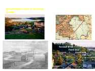
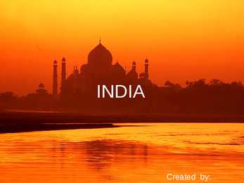
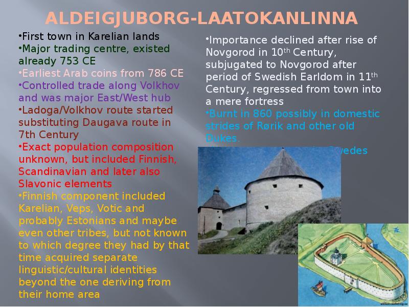
INDIA Created by: Click to edit Master text styles Second level Third level SOME REASONS ,WHY TO GO INDIA: Fourth level Fifth level *ANCIENT CULTURE AND ARCHITECTURE * Very spiritual country for the people who are intrested about meditation and religion * Good place where people can learn yoga from the masters ,who have done it all the life *if you want to learn different nations culture and traditions than its best place where to go. India is multinational country. · Sunny and exoting weathers, good for resting Click to edit Master text styles Second level SOME INFORMATION AND FACTS ThirdABOUT level INDIA:

Inglise keel
The city and the tower of london
16
pptx

The city and the tower of london

The City and The Tower of London Styv Solovjov G1a The City Founded by Romas 43-50 AD, set up trading post It has seen at least 15 major fires 1666 burnt down 4/5 of its houses Then The City was rebuilt Tower Bridge (Tower Hill tube), built in 1894 during the Second World War, its was heavily bombed Now there is one of the biggest financil centres in Europe Banks, stock exchange Many banking and insurance institutions have their headquarters there Stock Exchange, Lloyd's of London,the Bank of England are all based in the City Over 500 banks have offices in the City City is an established leader in trading in Eurobonds, foreign exchange, energy futures and global insurance Of the $3.98 trillion daily global turnover, trading in London accounted for around $1.36 trillion,or 34.1% of the total Canary wharf Click to edit Master text styles Second level Third level

Inglise keel
Paul McCartney
30
pptx

Paul McCartney

Paul McCartney Siim Jaanoja 11. A I wannabe musician Me and my Honey Click to edit Master text styles Second level Third level Fourth level Fifth level Girl's loves me Click to edit Master text styles Second level Third level Fourth level Fifth level Fame is good... Click to edit Master text styles Second level Third level Fourth level Fifth level Being surrounded by fans make me sick

British history (suurbritannia ajalugu)
England
14
pptx

England

ENGLAND General overview England is part of the United Kingdom Land borders with Scotland to the north and Wales on to the west The English Channel on south separates it form continental Europe The country includes over 100 smaller islands Capital and largest city is London Its has consitutional monarchy Monarch is Elizabeth II Total area is 130,395 km2 Population is 51,446,000 million, around 84% of the population of the UK Currency is Pound stearling(GBP) Has left-hand traffic Patron saint is ST. George Geography England comprises the central and southern two-thirds of the island of Great Britain, in addition to a number of small islands of which the largest is the Isle of Wight Much of England consists of rolling hills, but it is generally more mountainous in the north with a chain of mountains, the Pennines, dividing east and west Other hilly areas in the north and Midlands are the Lake District, the North York Moors, and the Peak Di

Inglise keel
Finland
11
odt

Finland

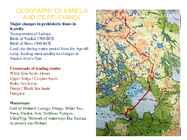
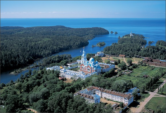
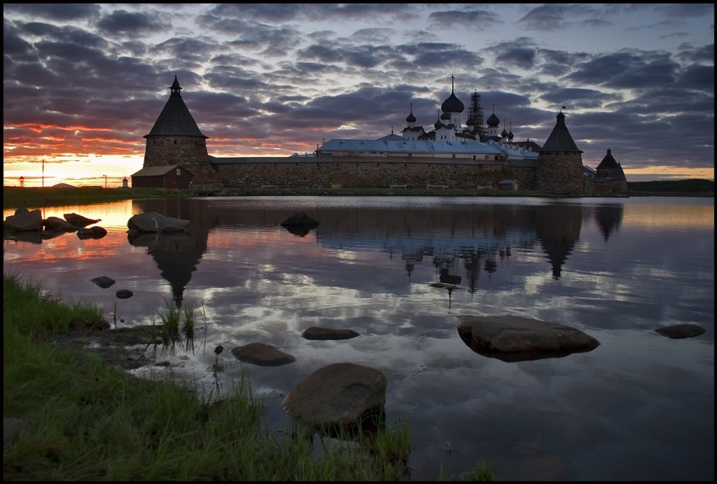
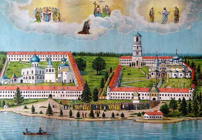
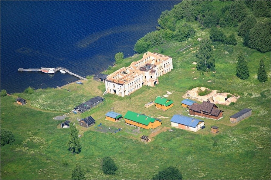
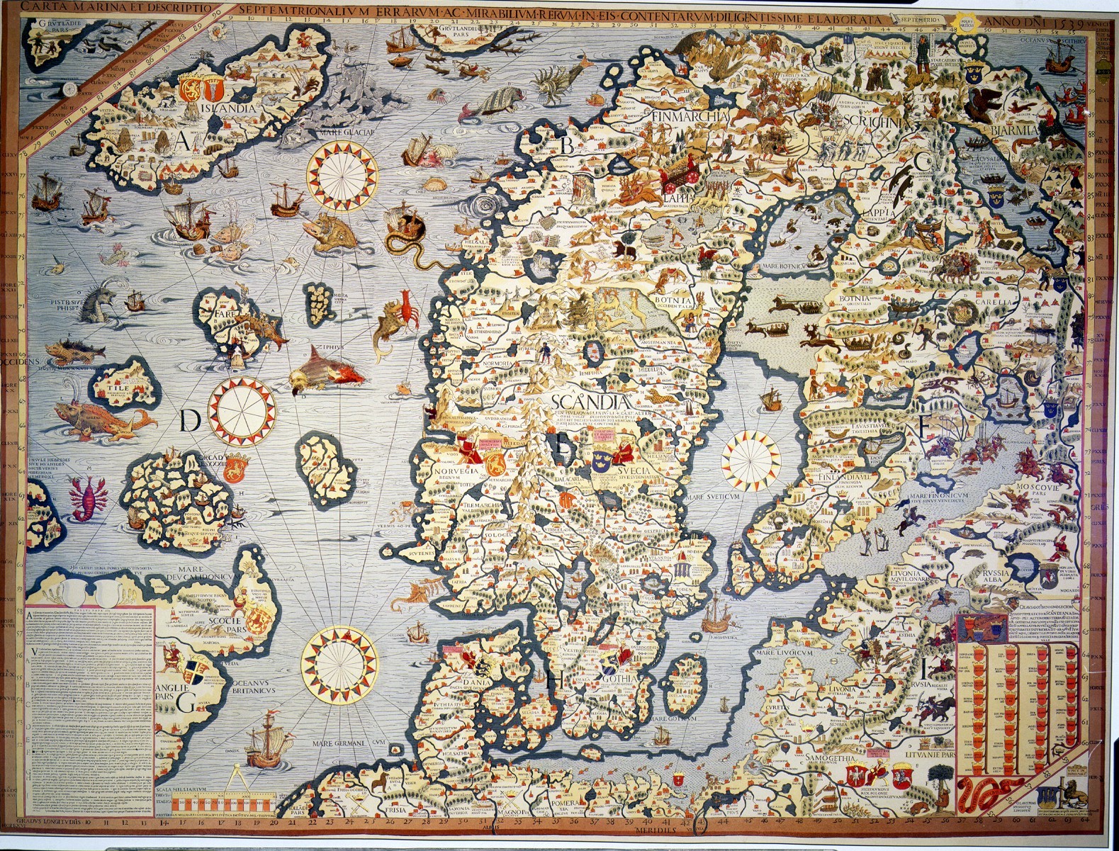
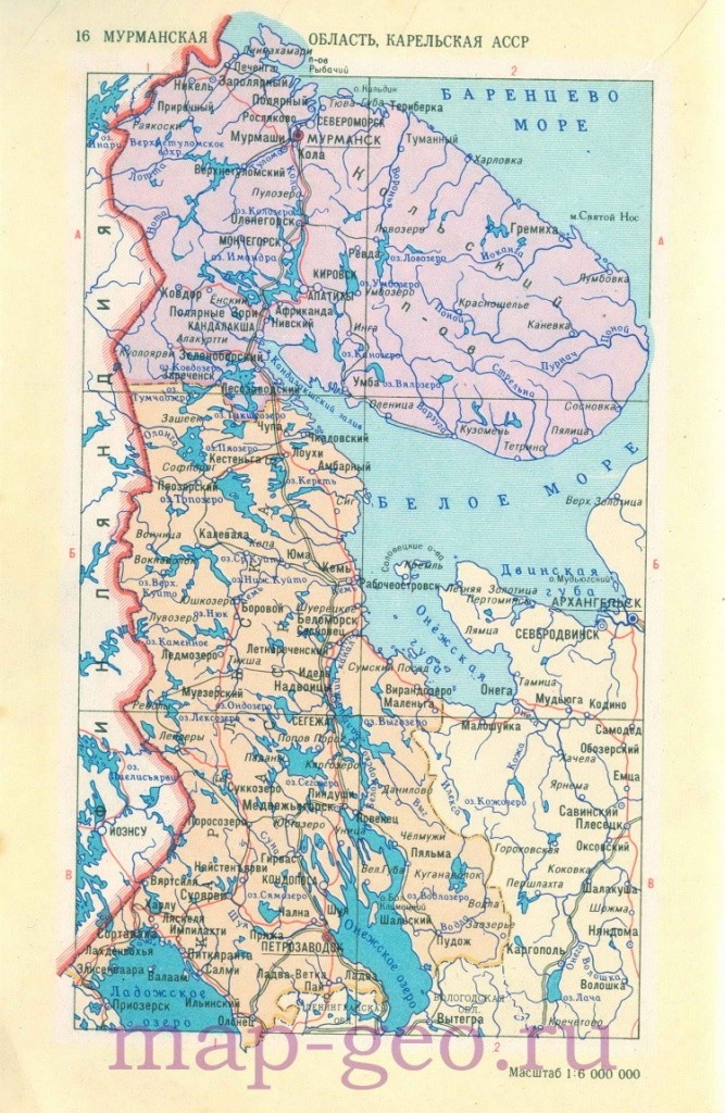
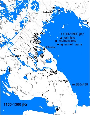
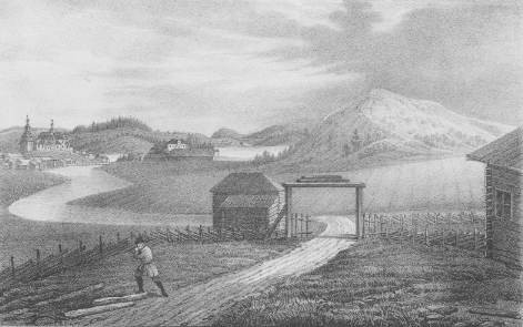
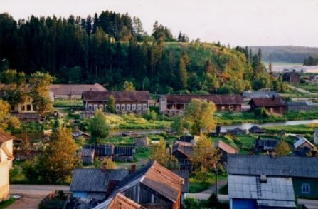
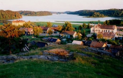
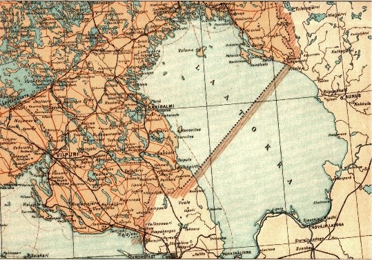
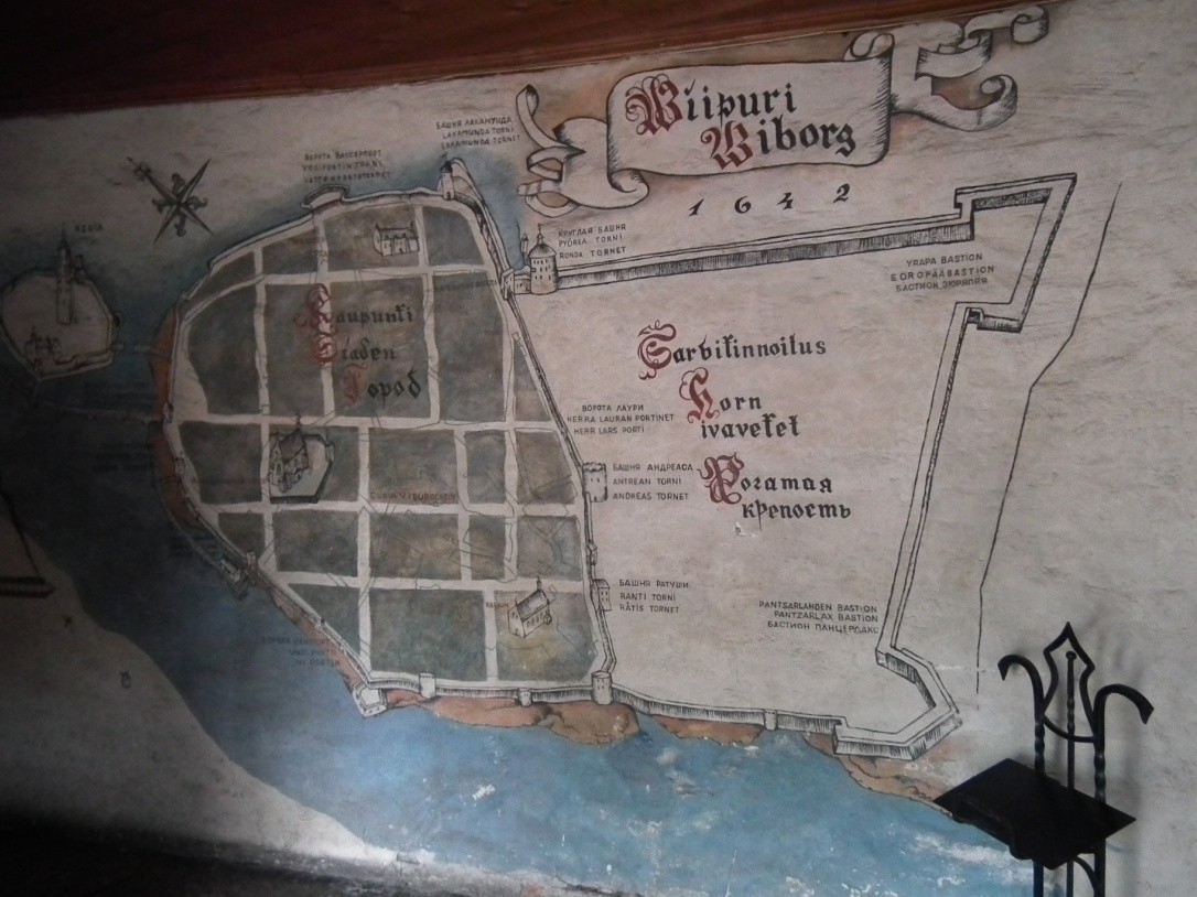
probably a reference to the Same (see below), who at that time were living on and around the 60th parallel. Over the centuries the Same were gradually pushed further north, and today they live in Finnish Lapland. Whichever part of the country they happen to come from, Finns have a lot in common: they all share deeply ingrained down-to-earth rural values combined with the spiritual qualities relating to the sauna. Many of them come from the land of Karelia which was split right down the middle by the Finno-Russian frontier after World War II; hardly anyone lives there now, but the Karelians` pride at being something quite separate from either Finns or Russians still remains. (Finland: Insight compact guides) Population Finland currently numbers 5,302,778 inhabitants and has an average population density of 17 inhabitants per square kilometre. This makes it, after Norway and Iceland, the

Majandus
Topic - Estonia
8
doc

Topic - Estonia

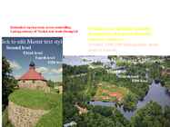
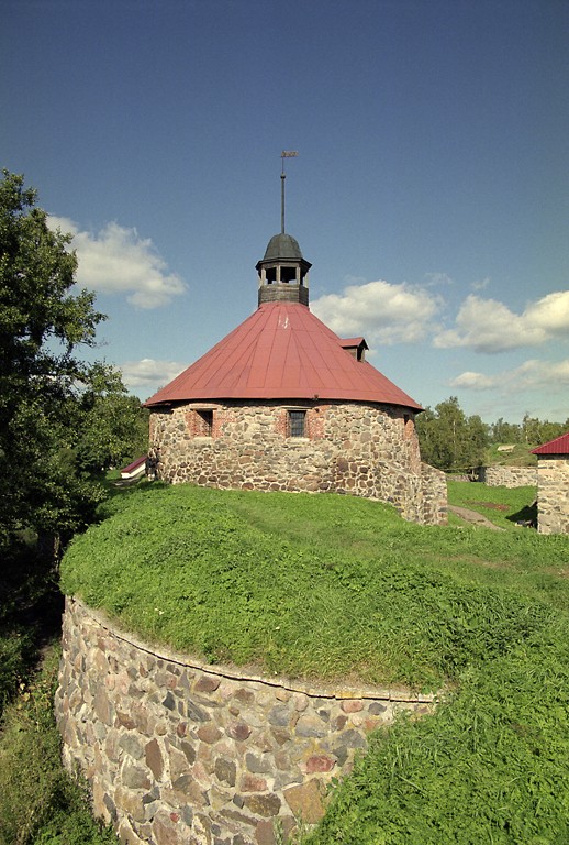
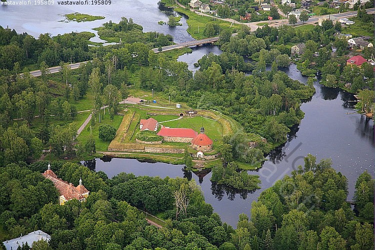
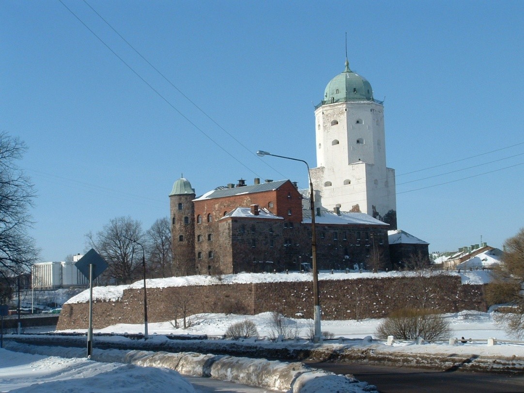
Tallinn English College Topic Estonia Tallinn 2008 1. Introduction Estonia is a small country about the size of Switzerland, or New Hampshire and Massachussetts combined. Estonia is named after the people called "Ests" who lived in the region in the 1 st century AD. The Republic of Estonia is one of the three countries commonly known as the "Baltic States". The other Baltic States are Latvia and Lithuania. 2. Geographical position Estonia is situated in northeastern Europe. Estonia is bounded on the north by the Gulf of Finland, on the east by Russia, on the south by Latvia and on the west by the Baltic Sea. In the north it borders on Finland. The coastline of the Baltic Sea in Estonia is characterized by numerous gulfs and bays, the biggest of them being the Gulf of Finland, the Gulf of Riga and the Gulf of Pärnu. Bays include the Narva Bay, Matsalu Bay, Kolga Bay, Kunda Bay, Tallinn Bay etc. Estonia has over 1500 islands, the largest being

Inglise keel
Canada
28
pptx

Canada

Canada A Mari Usque Ad Mare Official language(s) English, French Inuktitut, Inuinnaqtun, Cree, Recognised regional languages Dëne Sliné, Gwich'in, Inuvialuktun, Slavey, Tlch Yatiì Languages in Canada North American country consisting of ten provinces and three territories located in the northern part of the continent, it extends from the Atlantic Ocean in the east to the Pacific Ocean in the west, and northward into the Arctic Ocean spanning over 9.9 million square kilometers, Canada is the world's second largest country by total area its common border with the United States is the longest land border in the world. Some facts The land that is now Canada was inhabited for millennia by various groups of Aboriginal peoples beginning in the late 15th century, British and French France ceded nearly all of its colonies in North Amer

British culture (briti kultuur)
Estonia topic
9
doc

Estonia topic

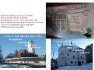
Estonia Topic Tallinn 2007 2 List of Contents page Facts and figures 3 Geography 3 Climate 3 Nature 4 History 5 Economy 6 Culture 6 Biggest towns 7 Language 8 3 Facts and figures The Republic of Estonia is a small country. Covering only 45, 228 sq km it is slightly bigger than Denmark, Belgium or Switzerland. Estonia's population is under 1.4 million. The official language is Estonian but since very many Russians live here Russian is also wide spread. The capital of Estonia is Tallinn. The currency used in Estonia is Eesti kroon. The Estonian national flag is blue-black-white. It was originally the flag of the Estonian Students' Society. The flag was first consecrated in Otepää Church in 1884. For a while, during the Soviet occupation, the flag was banned but it was again seen in public in Tartu in May 1988. The national flower

Inglise keel


Meedia

Kommentaarid (0)

Kommentaarid sellele materjalile puuduvad. Ole esimene ja kommenteeri


Sellel veebilehel kasutatakse küpsiseid. Kasutamist jätkates nõustute küpsiste ja veebilehe üldtingimustega Nõustun