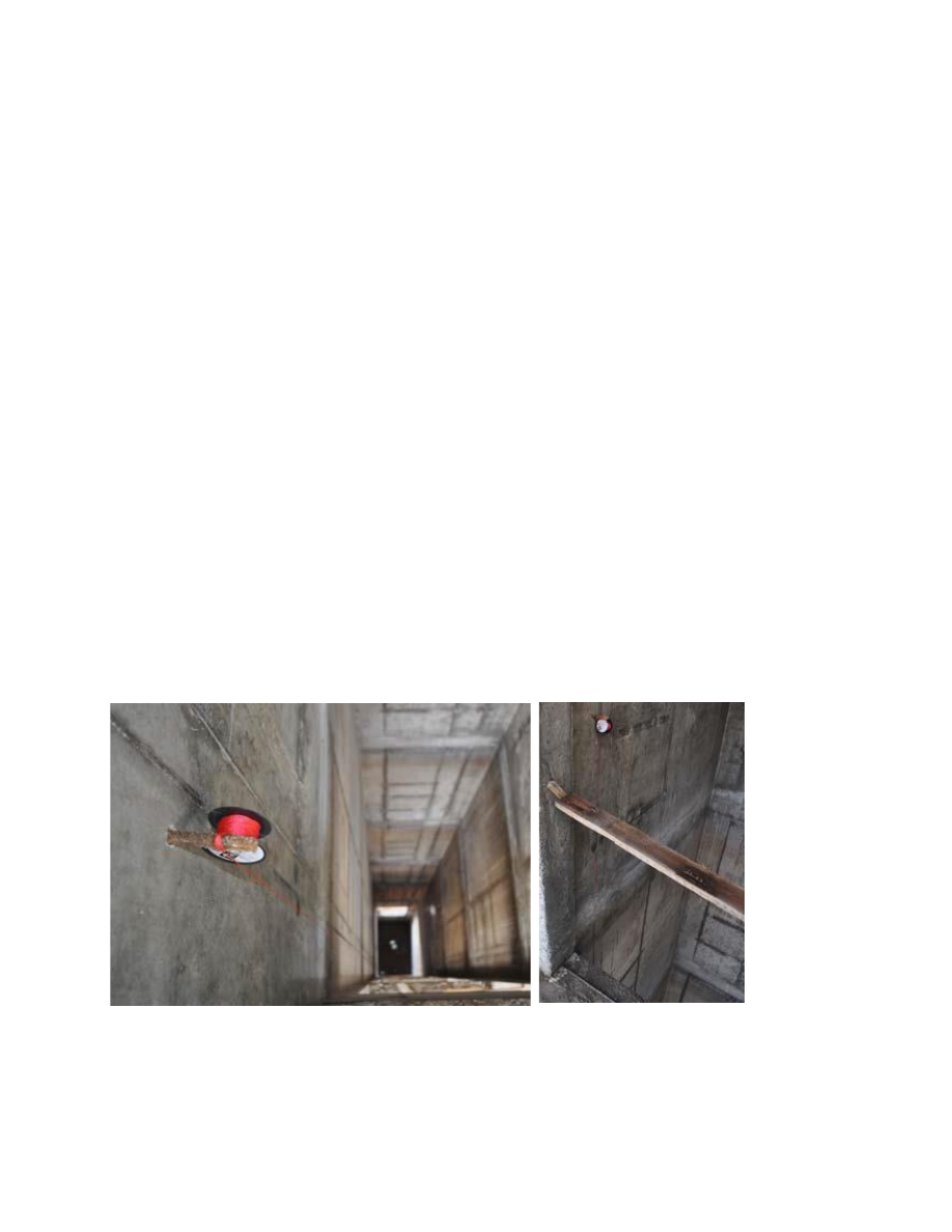
TABLE OF CONTENTS INTRODUCTION ..................................................................................................................................... 2 1 METHOD OF DIRECT MEASUREMENTS OF DIMENSIONS AND DISTANCES OF SHAFT WALLS ..................................................................................................................................................... 3 2 3D SCANNING ................................................................................................................................ 5 2.1 Polar method ............................................................................................................................... 5 2.2 Method of terrestrial laser scanning ........................................................................................... 6 SUMMARY .............................................................
................................................... 28 7 Structural Steel Wireframe Model .................................................... 32 8 Curtain Wall Intersection Details ..................................................... 34 9 Detailing Tekla Model ...................................................................... 35 10 Seele’s CNC Manufacturing Equipment .......................................... 37 11 Point Cloud From the Laser Scanner ................................................ 38 12 Scanned Diagonal Steel .................................................................... 38 13 Curtain Wall Mullion Installation..................................................... 39 14 Wireframe Design Model ................................................................. 42 15 Developed Design Model ................................................................. 42
sensor so calibration can be accomplished without walking repeatedly around a table to hit a key or view the results on the display? Can the adjustment process be automated to minimize the number of manual steps required? The more manual adjustments that are needed, the more opportunities there are for mistakes. Bandwidth Several years ago, I worked on an imaging application. This system was to capture data using a CCD (Charge Coupled Device) image sensor. We were capturing 1024 pixels per scan. We had to capture items moving 150 inches per second at a resolution of 200 pixels per inch. Each pixel was converted with an 8-bit ADC, resulting in 1 byte per pixel. The data rate was therefore 150 ¥ 1024 ¥ 200, or 30,720,000 bytes per second. We planned to use the VME bus as the basis for the system. Each scan from the CCD had to be read, normalized, filtered, and then converted to 1-bit- per-pixel monochrome. During the meetings that were held to establish the
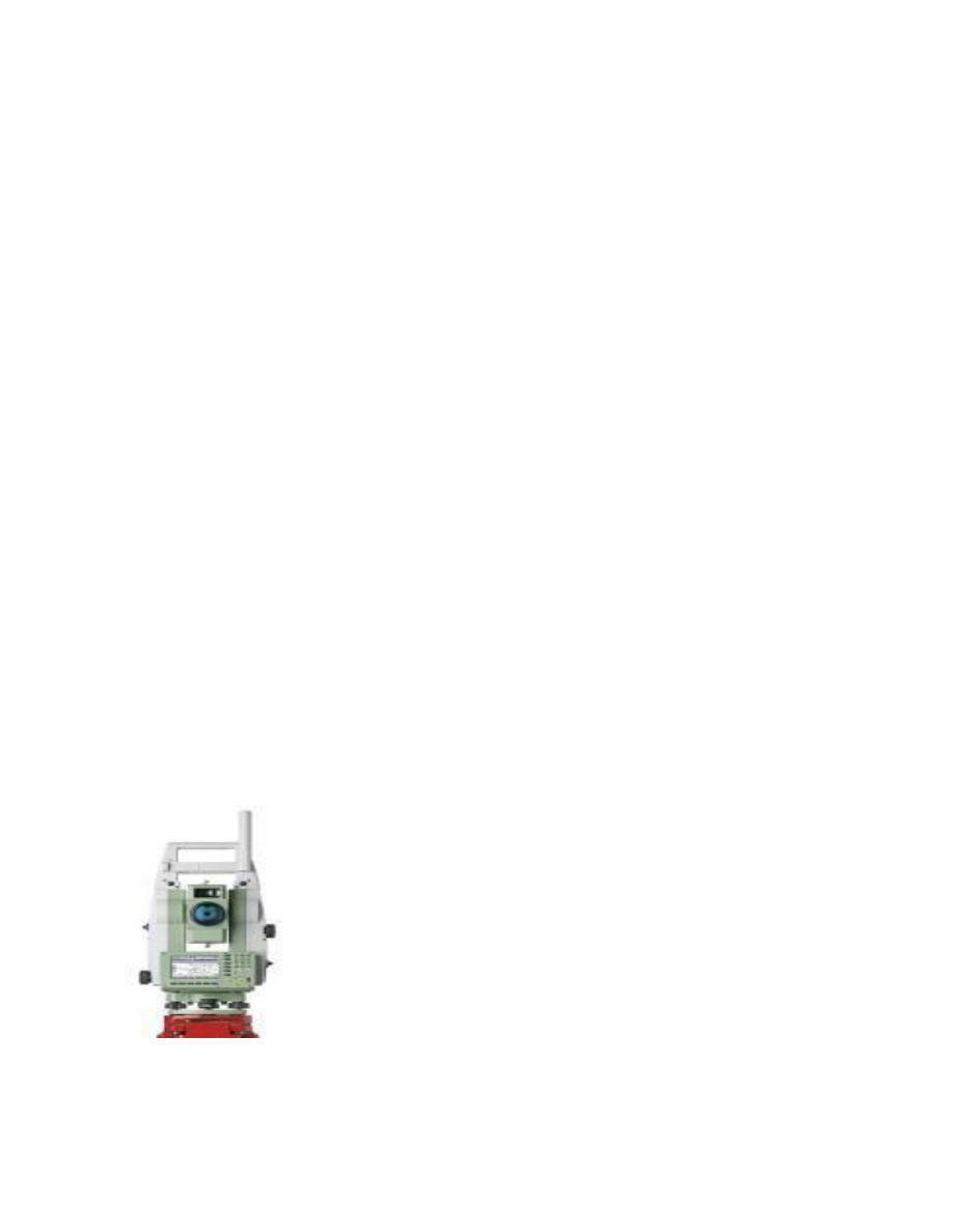
Laura Lüll KRG11/21 Total station: Problems 1. Distinguish between transits and theodolites. - Transits and theodolites are instruments for measuring horizontal and vertical angles. The distinction between these instruments is not very clear. At first, both of instruments were called theodolites. The instruments that were manufactured with long telescopes and could not be inverted end for end were called theodolites. As technology developed, people started making instruments with shorter telescopes that could be inverted or transited – these machines were called transits. Time went on and in the end most instruments – both theodolites and transits were manufactured with telescopes witch could be inverted. Now, the original distinction is no longer
Chapter 1. Introduction and Chapter 2. Lasers. 1. Name the common data collecting technologies. Contact and non contact. Non contact separaate to active and passive scanners. 2. Describe the data collected by laser scanning. Its land surveying method what measure and collect data from objects, surfuce, buildings, and landscapes. Laser scanning collects information from point cloud data witch consists of milions of 3D cordinates(XYZ) 3. What is Remote Sensing? 3D laser scanning is a remote sensing technology that uses laser technology to survey the surrounding environment. 4. Name Remote Sensing technologies. Depending on the scanning platform 3D laser scanning can be divided into: Airborn also reffered as ALS. A land based aka terrestrial , Static/Dynamic TLS 5
Edith D. de Leeuw, Joop J. Hox, Don A. Dillman INTERNATIONAL HANDBOOK OF SURVEY METHODOLOGY ÜLESANNE Õppeaines: SISSEJUHATUS ERIALASSE Tehnoloogia ja ringmajanduse instituut Õpperühm: Juhendaja: Tallinn 2021 TABLE OF CONTENTS 2 1 THE CORNERSTONES OF SURVEY RESEARCH 1.1 Introduction The idea of conducting a survey is deceptively simple. It involves identifying a specific group or category of people and collecting information from some of them in order to gain insight into what the entire group does or thinks; however, undertaking a survey inevitably raises questions that may be difficult to answer. How many people need to be surveyed in order to be able to describe fairly accurately the entire group? How should the people be selected? What questions should be asked and how should they be posed to respondents? In addition, what data collectio
Thesis “How is it possible to calculate IT security effectiveness?” Kristjan Kivimaa August 2022 1 Abstract In IT Security world, there is lack of available, reliable systems for measuring security levels/posture. They lack the range of quantitative measurements and easy and fast deployment, and potentially affects companies of all sizes. Readily available security standards provide qualitative security levels, but not quantitative results – that would be easily comparable. This deficiency makes it hard for companies to evaluate their security posture accurately. Absence of security metrics makes it complicated for customers to select the appropriate measures for particular security level needed. The research question for this research project is – “How is it possible to calculate IT security effectiveness?”. The aim of this research is to use this reference m
Ergo Pikas Integration of Lean Construction and Building Information Modelling DISSERTATION Tallinn 2010 2 UNIVERSITY OF APPLIED SCIENCES Author: Ergo Pikas- Civil Engineering student, Faculty of Construction, Tallinn University of Applied Sciences Supervisor: Rafael Sacks- Associate Professor, Faculty of Civil and Env. Engineering, Technion Israel Institute of Technology Consultant: Roode Liias- Professor and Dean, Faculty of Civil Engineering, Tallinn University of Technology Title: Integration of Lean Construction and Building Information Modelling Archived: University of Applied Sciences, Faculty of Construction ABSTRACT This research can be divided into two. The first part investigates the current state of the construction industry, while the second part looks at new emerging busin


Kõik kommentaarid