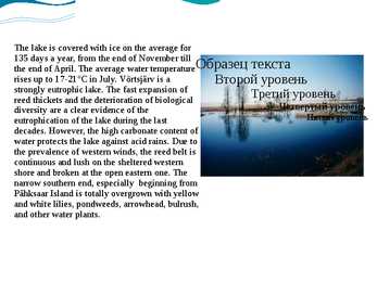
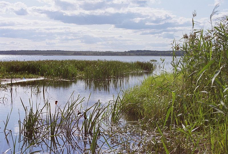
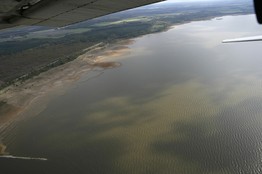
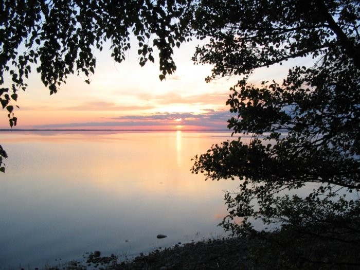
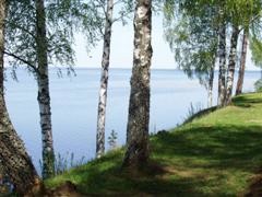
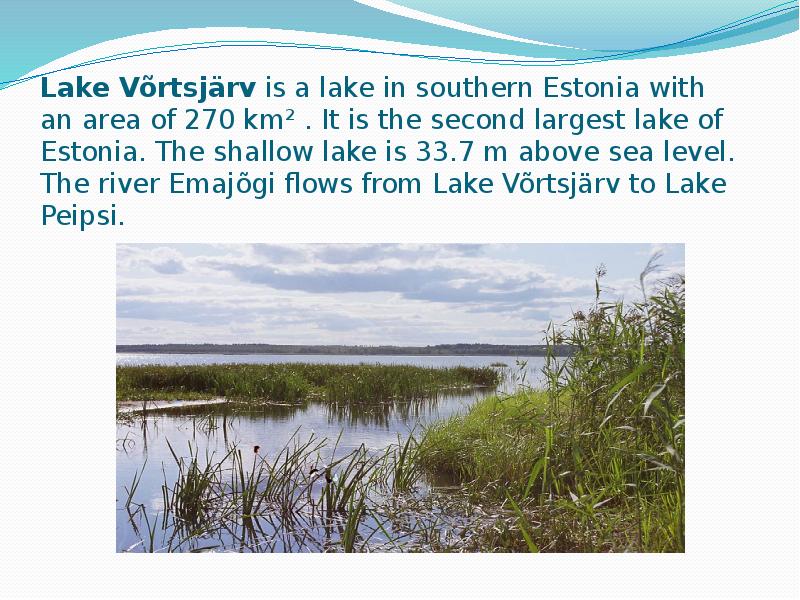
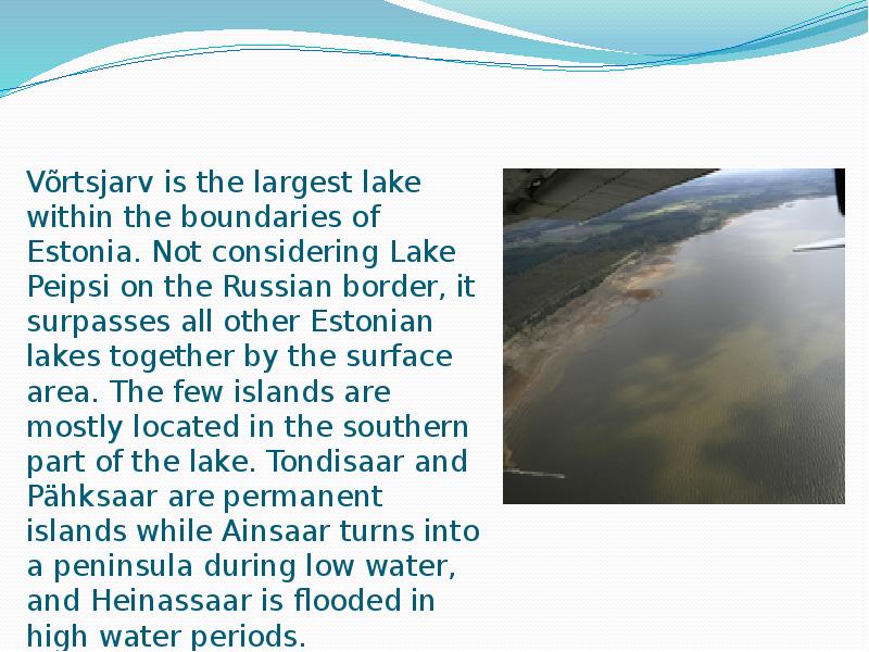
The Baltic Glint is one of the world's most important denudations of Ordovician sedimetary rocks. Half of Estonia is covered with forests and 30 % is covered with wetlands. The areas which are higher and particularly rich in hills are the Haanja and Otepää Uplands in the southeastern part of Estonia. In Haanja Upland there is the highest top of Estonia, Big Egg Hill (318 m), which is the highest top of the Baltic states. There are over 1400 lakes in Estonia. Lake Peipsi, lying between Estonia and Russia, covers 3 555 sq km. It is the biggest in Estonia and the fourth biggest in Europe. The second largest lake is Lake Võrtsjärv (270 sq km), while the deepest id Rõuge Suurjärv (38 m). The longest rivers are the Võhandu (162 km) and Pärnu (144 km). The Emajõgi flows for 101 km and its drainage basin covers 9740 sq km. NATURE CONSERVATION AND PROTECTED AREAS In 2004 Estonia had 360 different protected areas, apart from 448
It has land contact with Russia from the east and Latvia from the south. In the north The Gulf of Finland separates Estonia from Finland. The Gulf of Riga is situated to the south-west. Estonia has more than 1500 islands. The biggest ones are located to the west. The four biggest islands are Saaremaa, Hiiumaa, Vormsi and Muhu. The highest point in Estonia and also in the Baltic region is Suur Munamägi. It is 318. above sea level. Estonia is a country of a thousand lakes. The Largest one is Lake Peipsi which is also the fourth biggest freshwater lake in Europe. Lake Peipsi and Lake Võrtsjärv are rich in fish. Estonia has many rivers but only nine of them are longer than 100km. The most important ones are Pärnu River and Emajõgi River Climate Estonia lies in the northern part of the temperate climate zone and in the transition zone between maritime and continental climate. Because Estonia is continuously warmed by the
Estonia Where it is? Republic of Estonia is a state in the Baltic region of Northern Europe .It is bordered to the north by the Finland, to the west by the Baltic Sea, to the south by Latvia (343 km), and to the east by lake Peipus and Russia (338.6 km). Across the Baltic Sea lies Sweden in the west and Finland in the north. Towns Tallinn is the capital and the largest city of Estonia. It lies on the northern coast of Estonia, along the Gulf of Finland. There are 33 cities and several town-parish towns in the country. In total, there are 47 linna, with "linn" in English meaning both "cities" and "towns". More than 70% of the population lives in towns.
Võnnu Keskkool ESTONIA Referaat Autor: Klass : 9 Juhendaja: Võnnu 2013 Estonia officially the Republic of Estonia, is a state in the Baltic region of Northern Europe It is bordered to the north by the Gulf of Finland, to the west by the Baltic Sea, to the south by Latvia and to the east by Lake Peipus and Russia.Across the Baltic Sealies Sweden in the west and Finland in the north. The territory of Estonia covers 45,227km2 The Estonian climate resembles that of other countries on the Baltic littoral. On account of the country's proximity to the sea, the skies are often cloudy, and rain often falls in the spring and autumn, in the winter the rain turns to snow. The highest point in Estonia is Suur Munamäg It is in fact the highest point in the Baltic region
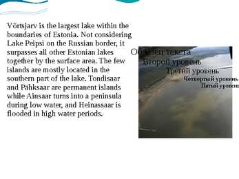
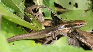
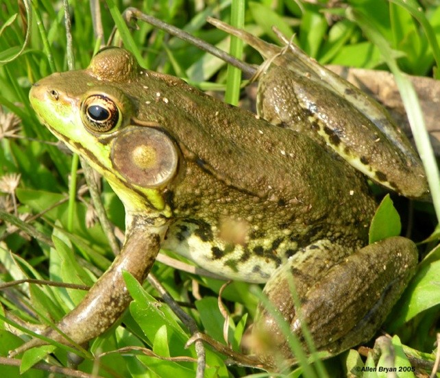
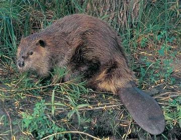
are Saaremaa with 2671 sq km, Hiiumaa with 989 sq km and Muhu with 200 sq km. The sea between these islands and the Mainland Väinameri is very shallow (less than five metres deep on average) and rich in shoals. The water of the Baltic Sea is brackish. Its average saltinity is only one fourth of that of the sea in general. Thus, most Estonian freshwater fish (about 30 species) also inhabit the sea. There are some 1450 lakes in Estonia (6.1% of its territory). The two largest of them are Lake Peipsi (the fifth largest in Europe) at 3555 sq km and Võrtsjärv with its 270 sq km area. About 1440 vascular plant species grow in Estonia, while ¾ of the total number of species are found in the coastal lowlands and islands. There are 82 species of fish living in Estonia, which are hard to divide into freshwater and sea species. 357 bird species have been recorded in Estonia, 221 of them breed in Estonia. The bird life in Estonia is at its peak from the end of April to the beginning of July
mountainous and the tallest mountain in Canada is the Yukon's Mount Logan, which is 6050 meters tall. Canada has many mountain ranges. In the east there are the Appalachians, Torngats and Laurentias. In the western region there are the Rocky, Coastal and Mackenzie ranges and Mount St. Elias and the Pelly Mountains in the northern regions. Canada has about two million lakes and they cover about 7.6% of Canada's land. The biggest lakes in order by their surface are Lake Huron, Lake Great Bear, Lake Superior, Lake Great Slave (which is also the deepest), Lake Winnipeg, Lake Erie and Lake Ontario. There are also a lot of rivers in Canada. The longest river is the Mackenzie River which is 4241 kilometers long. It runs through the Northwest Territories. Other large and important rivers are the St. Lawrence River, the Yukon River, the Columbia River, the Nelson River, the Churchill River and the Fraser River. 4. Land regions Mountains
It lies 335 km south west of the nearest large town, Alice Springs; 450 km by road. Kata Tjuta (The Olgas) and Uluru are the two major features of the Uluru - Kata Tjuta National Park. Uluru is sacred to the Aboriginal people of the area. It has many rock caves and ancient paintings. Water bodies: Australia is a very dry continent. There are very few rivers and no big lakes in Australia. Most of the lakes of Australia have water in them only after rain. The biggest lake of Australia is Lake Eyre and it is also the lowest point in Australia, at approximately 15 metres below the sea level. The lake is located in the deserts of central Australia. Even in dry season there is usually some water remaining in Lake Eyre. Australian temporary rivers are called creeks. The biggest rivers of Australia are in the eastern part of the country. The Murray River is the largest but the second longest river, only its tributary the Darling river is longer than it
The region gets its name because, historically, it has been the centre of political and economic power in the country. Canada's capital city is Ottawa, Ontario. Toronto and Montreal are the two largest cities in Canada. Central Canada is also the most heavily populated and industrialized area of Canada, particularly in the south around the Great Lakes and the St Lawrence River. The Great Lakes are the largest body of fresh water in the world. In order of size, they include Lake Superior, Lake Michigan, Lake Huron, Lake Erie, and Lake Ontario. These waterways along with the St Lawrence River are an important transportation route from the Atlantic Ocean to Canada's interior. Between Lake Eire and Lake Ontario, the Niagara River plunges over a rocky ledge and forms the famous Niagara Falls. In the far north we find the Hudson Bay Lowlands, which are cold, flat, and swampy, with very few cities


Kõik kommentaarid