The United Kingdom The United Kingdom consists of England, Scotland, Wales and North Ireland and it is situated in the Atlantic Ocean near the mainland of Europe. The population of the UK is 58.6 million and area is 244,110 sq km. Britain has a temperate humid climate. Its characteristic features are mild winters, warm summer, no temperature extremes, abundant rain all year round and frequent changes of weather. The mild climate is partly due to the warm Gulf Stream and partly to the south westerly winds. Occasional winds from the east in winter may
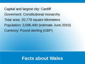
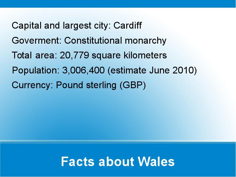
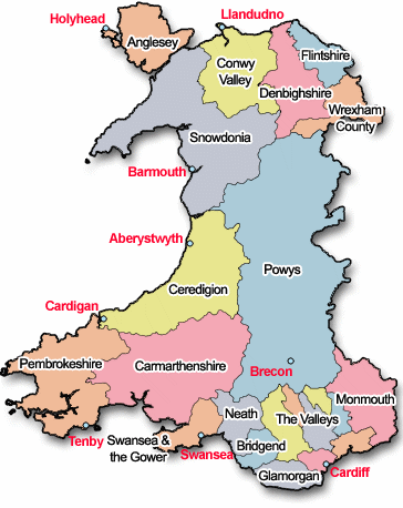
WALES . Wales is a country that is part of the United Kingdom , bordered by England to its east , and the Atlantic Ocean and Irish Sea to its west . It is also an elective region of the European Union . Wales has a population estimated at three million . The capital Cardiff is Wales's largest city with 317,500 people . For a period it was the biggest coal port in the world . Cardiff is the largest media centre in the UK outside of London . Wales is located on a peninsula in central-west Great Britain . Its area , the size of Wales , is about 20,779 km² . Wales is bordered by England to the east and by sea in the other three directions : The Bristol Channel to the south , St
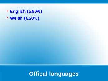
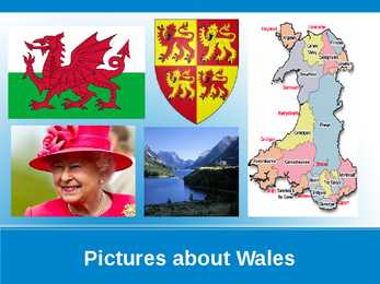
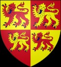
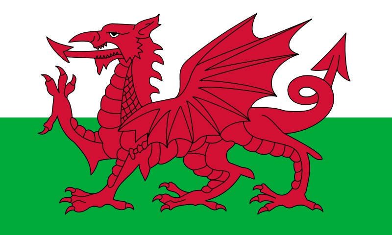
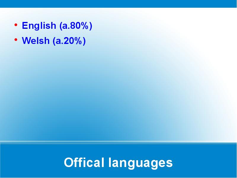
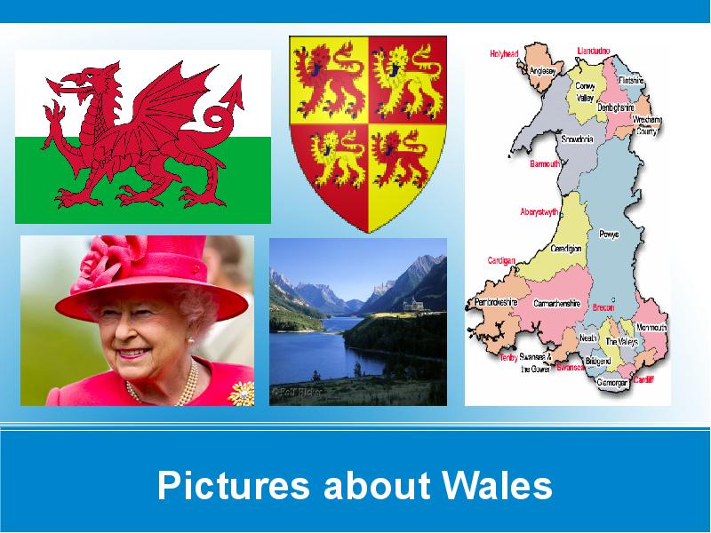
GREAT BRITAIN Cymru am byth GENERAL OVERVIEW Territory:20,779 sq km Population:2.9 million(2002) Languages:English and Welsh Capital:Cardiff(since 1955) Anthem:Hen Wlad Fy Nhadau (Land Of My Fathers) Main religions: anglicanism,methodism National holiday:St David`s day,1 March National instrument:The harp Highest point: Snowdon 1085 metres Longest river:Towy (Tywi) 103 km Largest lake: Bala (4.4 sq km) CYMRU Wales is a mountainous country on the western side of Great Britain. Wales is bordered by England to the east, the Bristol Channel to the south, St George's Channel in the west, and the Irish Sea to the north. Wales is one of the four parts of the United Kingdom (along with England, Scotland, and Northern Ireland). FLAG Red dragon may have been the battle standard of the early Britons after Roman occupation.An 8th -century legend describes a
.. 8 Population and Ethnicity..............................................................................................9 3 Introduction The official name of the country is the United Kingdom. The United Kingdom is an island country. It consists of the island of Great Britain and Northern Ireland. Great Britain can be divided into three parts England, Wales and Scotland. Each of them has their own capital city. Glasgow in Scotland, Cardiff in Wales and London in England. The country is situated in the north-western Europe. The territory of the United Kingdom is about 244,000 square kilometres and about 60 million people live there. The UK contains a number of small islands. The largest islands that belong to the United Kingdom are the Isle of Man in the Irish Sea and the Isle of Wight which lies off of England's southern coast
ENGLAND General overview England is part of the United Kingdom Land borders with Scotland to the north and Wales on to the west The English Channel on south separates it form continental Europe The country includes over 100 smaller islands Capital and largest city is London Its has consitutional monarchy Monarch is Elizabeth II Total area is 130,395 km2 Population is 51,446,000 million, around 84% of the population of the UK Currency is Pound stearling(GBP) Has left-hand traffic Patron saint is ST. George Geography
Tallinn English College Topic Great Britain 2007 1. Introduction The official name of Great Britain is `the United Kingdom of Great Britain and Northern Ireland (or short United Kingdom)' The population is about 60.4 million. The capital is London. Other biggest cities include Birmingham, Bristol, Portsmouth, Glasgow and Swansea. English is the main language of Great Britain, but Welsh is officially recognized in Wales and Gaelic in Scotland. 2. Geographical position The British Isles is the geographical term for a group of about 5000 islands off the coast of mainland Europe. The largest island is Great Britain, which is also the largest island in Europe. It consists of England, Wales and Scotland. The next largest island is Ireland, which is made up of Northern Ireland and the Irish Republic. Britain and Northern Island together form the United Kingdom. When referring to Britain or Great
1) General facts The UK: * the United Kingdom of Great Britain and Northern Ireland was formed in 1801 * it covers 243,610 sq km * everybody from the UK is called British * the capital city is London * is made up of four constituent countries: England, Scotland, Wales and Northern Ireland which in turn are divided into counties * the flag is called the Union Jack which is a combination of the flags of England, Scotland and Northern Ireland * the population is about 60,000,000 people, the population density is 242 people/sq km * its coasts are washed by the Atlantic Ocean, the North Sea, the English Channel, the Celtic Sea, Saint George's Channel, and the Irish Sea. It is linked to France by the Channel Tunnel * the United Kingdom is a constitutional monarchy
How people are spread out across the country. What does population density tell us? How crowded places are. Densely populated means that places are crowded, have a high population density. Sparsely populated means that places have few people, have a low population density. The average population density in Britain is 247 inhabitants per square kilometre., which is well above the European Union average of about 114 per sq km. England has 383 people per sq km, Scotland has 65, Wales 142 and Northern Ireland 125. 3. Towns. Most people in Britain live in towns or cities (92%) that is most of the population is urban. Population of the main urban areas in 2001: London 7,172,091 Edinburgh 430,082 Belfast 276,459 Birmingham 970,892 Manchester 394,269 Glasgow 629,501 Cardiff 292,150 The highest densities are to be found in conurbations, which are groups of once separate


Kõik kommentaarid