· Suuremõisa Castle. Suuremõisa Castle was built in the second half of the 18th century on the initiative of Countess EbbaMargaretha Stenbock (17041776). The wings are erected in 1772. There are 64 rooms in the Castle. 6 ponds were dug in the grounds of the Castle and a park and a garden established. In 1796 the Castle was sold to Baron UngernSternberg. The attic of the Castle has doubleceiling, where the Baron used to hide the treasures stolen from ships that had sunk in the Näkimadalad. On 19 October 1802 the Baron killed Karl Johannes Malm, the Captain (of Swedish origin) of his ship "Brig Morian", in this Castle. For this the baron was deported to Siberia. There are currently
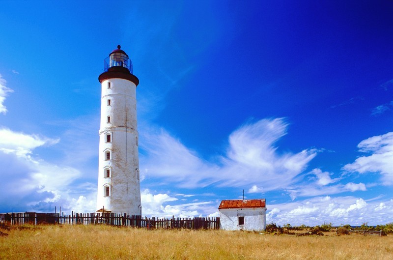
Long struggle of power with foreign intruders has left ancient strongholds in Valjala, Lihula and Soontagana. The churches in Muhu, Valjala, Mustjala, Karja and Kihelkonna are honorable and elderly because Straitland was the one to bring Christianity to Estonia. The castle of Kuressaare is still standing proudly, but in Lihula only ruins can be seen. The patterns of national dresses and the churches bring memories of secret sign cultures of Medieval Times. Good knowledge of singing and facility of speech of the people of Straitland have given Estonia a big number of writers and poets. Character of the landscape The area of Straitland contains Pärnumaa county and some of the islands such as Saaremaa, Muhu, Kihnu, Ruhnu and Abruka. Straitland is low-lying and flat. It was flooded by the sea for much longer than the rest of mainland Estonia
woodland, grassland, mangrove swamps and desert. Climate is highly influenced by ocean currents, including the El Niño southern oscillation. 4. Land regions Mountains The Great Dividing Range runs along the Pacific ocean. These mountains are very old and much of worn down but the Australian Alps are the highest of them. The highest top Mount Kosciusko is 2228 metres above sea level. It was named by the Polish explorer Count Paul Strzelecki in 1840 in honour of the Polish national hero General Tadeusz Kociuszko. Like many of Australia's highest peaks, Mount Kosciuszko is not particularly difficult to climb. There is a road to Charlotte Pass, from which it is a seven kilometre walk up a path to the summit. Anybody with a modest level of fitness should be able to climb it. Until the 1960s the road was open to motor vehicles and it was possible to drive close to the summit.
name given by ancient Germans to the peoples living northeast of the Vistula River. Tacitius, the Roman historian, was the first one to mention it (AESTI), while the Arab scholar alIdrisi was the first one to mark it on a map (as ASTLANDA). To the ancient Scandinavians the land was known as EISTLAND; to modern Scandinavians it is known as ESTLAND. Most contemporary languages use the Latin name ESTONIA. FLAG The Estonian blueblackandwhite national flag was originally the flag of the Estonian Student's Society, consecrated in Otepää Church in 1884. today there is a memorial plaque on the church wall commemorating the event. The Flag Museum attracts tourists who take an interest in the history of the flag. After about half a century, during which it was prohibited by the Soviet authorities, the flag was sen again in public for the first time in Tartu. Many
Big Egg hill ( Suur- Munamägi) reaches 318 meters above sea level. Estonia has many uplands too. The uplands are: Pandivere upland, Otepää upland, Vooremaa upland, Karula upland Haanja upland, Sakala upland. Estonia is covered by about 18 000 square kilometers of forest. Estonia is also rich in lakes and rivers The largest lake is Peipsi and the second-largest lake is Võrtsjärv. The largest river is Võhandu whinch is 162 meters long. Estonia has many national parks. A national park is a protected area. They are good to protect animals, birds, insects and other natural resources. The most famous national parks are: Lahemaa, Karula, Soomaa, Vilsandi, Matsalu. On the 8th millenium BC first people began to settle here in Estonia. On the 13th century Germans and Danish tried to conquer our country. On the 16th century the first book in Estonian language was publicated. Then the Livonian War began. Northern part of Estonia was occupied
South-eastern and eastern parts of Estonia are higher than the western parts. The relief of the present-day landscape was shaped during the Ice Age. Ice sheet has carried large boulders and limestone blocks here, not to mention that the hilly terrain in Estonia was also shaped by the continental ice and the melting water. The land is rising 25 cm every one hundred years. In folklore, many features of the relief are explained by the activities of giants such as the legendary national hero Kalevipoeg. The Haanja and Otepää Uplands are particularly rich in Hills. It is here that You find Big Egg Hill, the highest point in the Baltic states with 318 metres above sea level. 4. Land regions The northern coast features a steep limestone bank, the Baltic glint, which is one of the world's most important denudations of Ordovician sedimentary rocks. The glint rises to its highest point (56m) at Ontika. Estonia has over 1,500 islands.
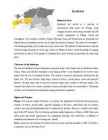
Culture 6 Biggest towns 7 Language 8 3 Facts and figures The Republic of Estonia is a small country. Covering only 45, 228 sq km it is slightly bigger than Denmark, Belgium or Switzerland. Estonia's population is under 1.4 million. The official language is Estonian but since very many Russians live here Russian is also wide spread. The capital of Estonia is Tallinn. The currency used in Estonia is Eesti kroon. The Estonian national flag is blue-black-white. It was originally the flag of the Estonian Students' Society. The flag was first consecrated in Otepää Church in 1884. For a while, during the Soviet occupation, the flag was banned but it was again seen in public in Tartu in May 1988. The national flower is cornflower, the national bird is barn swallow and the national stone is limestone. The Estonian national anthem called "My Native Land, My Pride and Joy" was composed in 1848 by Friedrich Pacius
the north by the narrow Gulf of Finland and from Sweden in the west by the Baltic Sea. Estonia has been a member of the European Union since May 1, 2004 and of the NATO since March 29, 2004. The area of Estonia is about 45000 square kilometres and the population is about 1.4 million people. The capital of Estonia is Tallinn and the official language is Estonian. The currency is Eesti kroon. The main religion is Lutheran. Anniversary of the republic is celebrated on February 20. The national flower is cornflower, national bird is barn swallow and national stone is limestone. It is a land of great natural beauty with a long and varied history and rich culture. It has served as a junction of international trade routes for centuries. History. The oldest marks of habitation on the territory of Estonia date from the 8th millennium BC. Fortified settlements were established in the 1 st century BC.


Kõik kommentaarid