1. UN as a world organization The United Nations officially came into existence on 24 October 1945, when the UN Charter had been ratified by a majority of the original 51 Member States. The day is now celebrated each year around the world as United Nations Day. The purpose of the United Nations is to bring all nations of the world together to work for peace and development, based on the principles of justice, human dignity and the well-being of all people. It affords the opportunity for countries to balance global interdependence and national interests when addressing international problems. There are currently 192 Members of the United Nations. The Aims of the United Nations: -To keep peace throughout the world. -To develop friendly relations between nations. -To work together to help people live better lives, to eliminate poverty, disease and illiteracy in the world, to stop environmental destruction and to encourage respect for each other's rights and freedoms. -To be a centre fo
Tallinn English College Report of Canada 8a Teacher: Merike Sisask Composer: Kärt Kalvet 2010 Canada, Kärt Kalvet 8a Canada General Information Canada is in North America. It's area is 9220970 sq km. Canada's population is 313.612.000 people. Canada is divided into 10 provinces and 3 territories. The capital of Canada is Ottawa. Canada has constitutional monarchy. The head of state in Canada's government is the Queen of England. There are two main languages in Canada: English and French. Canada's curreny is Canadian dollar (1 dollar=100 cents[Can$]). The highest peak of Canada is Mount Logan, 5959 metres. The lowest point is sea level. The longest river is the Mackenzie. The climate and geography of Canada vary greatly from temperate in the south to arctic in the north and from islands and plains in the east to mountains in the west. Location Canada is located in the northern-most region o
The United States of America Geography The United States of America is situated in the central part of the North American continent. Its western coast is washed by the Pacific Ocean, and its eastern coast by the Atlantic Ocean and the Gulf of Mexico. It borders on Canada in the north and on Mexico in the South. The U.S.A. consists of 51 states and the District of Columbia. The state of Alaska is separated from the rest of the U.S.A. by Canada. Hawaii, which became the fiftieth state in 1959, is in the Pacific Ocean, halfway between the continents of America and Asia. The area of the United States of America is over nine million square kilometres. The continental part of the U.S.A. consists of two highland regions and two lowland regions. The highland regions are the Appalachian Mountains in the east and the Cordilleras in the west. The Appalachian Mountains run parallel to the Atlantic coast almost from the Gulf of Mexico into Canada. The highest peak is 2000
Tallinn English College Topic The United States of America Tallinn 2007 1. Introduction The United States of America's territory is over 3.7 million square miles (over 9.6 million km²) and population more than 300 million people. The capital city is Washington D.C. Although the United States has no official language at the federal level, English is the de facto national language. English is the most common language for daily interaction among both native and non-native speakers. Spanish is the second language. The largest city is the New York City. The Government is Federal constitutional republic and the president is George W. Bush. 2. Geographical position The United States of America is located on the continent of North America. It has borders with two countries Mexico and Canada. There are also the Atlantic Ocean, the Pacific Ocean and the Gulf of Mexico surrounding the big country. There are 50 states in America.
Topic Australia Tallinn English College 2006 Australia 1 . Introduction The name Australia is derived from the Latin Australis, meaning of the south. In land area, Australia is the sixth largest nation, its territory is 7,686,850 sq km and its population reaches today over 20,5 million people. It is the only nation to govern an entire continent and its outlying islands. Australia's capital is Canberra, the only city with its own territory. It was built in the early 1900s just to be the capital. The official language is English and the official name of Australia is the Commonwealth of Australia. Australia is located on the Southern Hemisphere (because of that Australia is also called "A land down under"). 2 . Geographical position Australia is an island continent and it is located between the Indian and South Pacifi
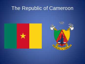
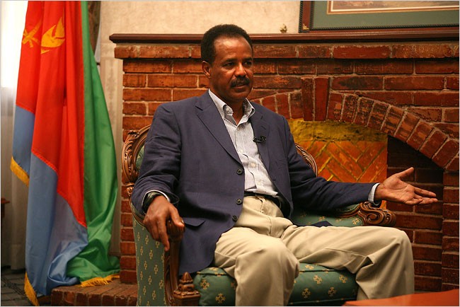
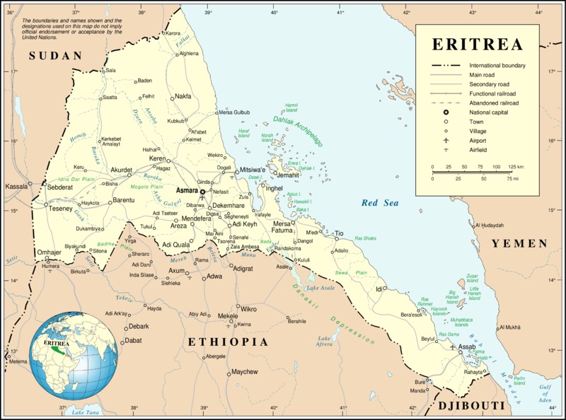
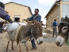
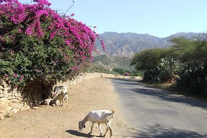
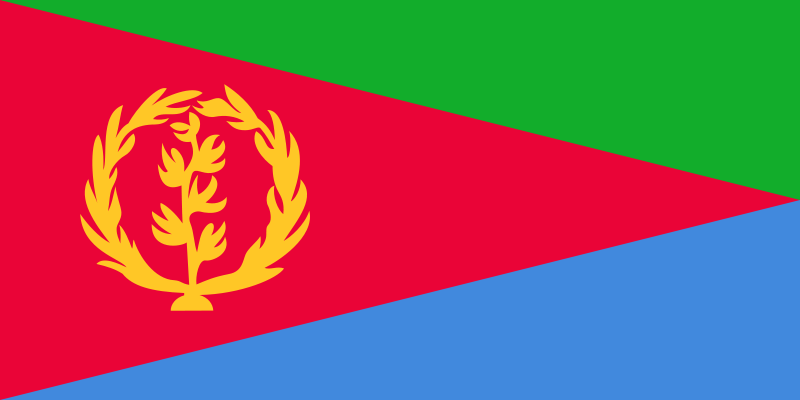
The Republic of Cameroon Cameroon · A unitary republic of central and western Africa · Bordered by Nigeria to the west; Chad to the northeast; the Central African Republic to the east; and Equatorial Guinea, Gabon, and the Republic of the Congo to the south. · Cameroon's coastline lies on the Bight of Bonny, part of the Gulf of Guinea and the Atlantic Ocean. · The country is called "Africa in miniature" for its geological and cultural diversity. History · The territory of present day Cameroon was first settled during the Neolithic · Portuguese sailors reached the coast in 1472 · The German Empire claimed the territory as the colony of Kamerun in 1884 and began a steady push inland. · An economic crisis took effect in the mid-1980s to late 1990s as a result of international economic conditions, drought, falling petroleum prices, and years of corruption, mismanagement, and cronyism. Politics and Government
what are `territorial politics' The multi-level politics of federal, regionalised, devolved states Distribution of power between central and regional government Party competition across levels of government `Regions' as spheres for autonomous action South Africa Mexico Germany · 9 provinces · 31 states plus federal district · Developed democracy · `Cooperative' federalism · Predominant role for federal 16 Laender German influence, ANC government · Cooperative federalism preference
I. Portugal ABOUT Photo Location of Portugal (dark green) Portugal (Portuguese: Portugal, IPA: [putua]; officially the Portuguese Republic, Portuguese: República Portuguesa) is a country located in Southwestern Europe, on the Iberian Peninsula. It is the westernmost country of mainland Europe, and is bordered by the Atlantic Ocean to the west and south and by Spain to the north and east. The Atlantic archipelagos of the Azores and Madeira are Portuguese territory as well. The country is named after its second largest city, Porto, whose Latin name was Portus Cale. SETTLEMENT The land within the bo


Kõik kommentaarid