NEW ZEALAND Geography: New Zealand is situated midway between the Equator and the South pole in the southern Pacific Ocean. It consists of two large islands, North Island and South Island, plus several smaller ones of which Stewart Island is the largest. North and South Islands are separated by the 32km wide Cook Strait. The total land area is 270,535 sq Km, about the size of Italy, the United Kingdom or the US state of Colorado. North Island is volcanically active with three active volcanoes. South Island has the high snow covered mountain peaks and glaciers of the Southern Alps, a range running almost 500Km along the Island. The longest river is the Waikato on North Island (425 Km), the largest inland stretch of water is Lake Taupo also on North Island (607 sq Km) and the highest point is Mount Cook on South Island (3754 m)
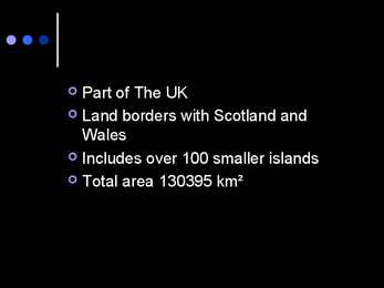
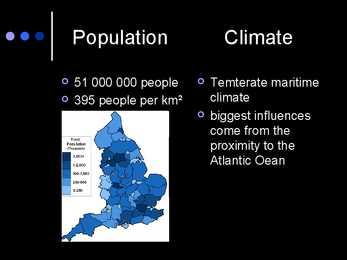
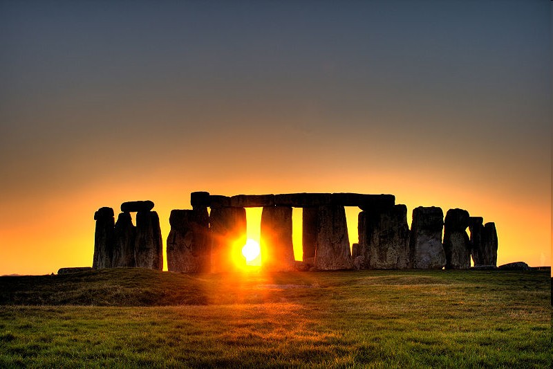
The United Kingdom The United Kingdom consists of England, Scotland, Wales and North Ireland and it is situated in the Atlantic Ocean near the mainland of Europe. The population of the UK is 58.6 million and area is 244,110 sq km. Britain has a temperate humid climate. Its characteristic features are mild winters, warm summer, no temperature extremes, abundant rain all year round and frequent changes of weather. The mild climate is partly due to the warm Gulf Stream and partly to the south westerly winds
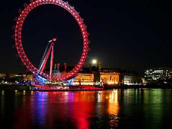
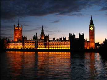
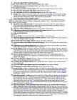
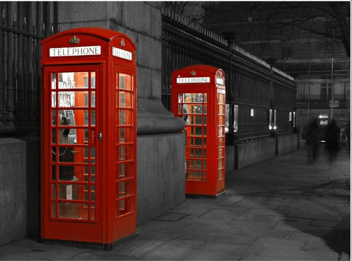
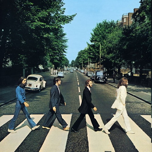
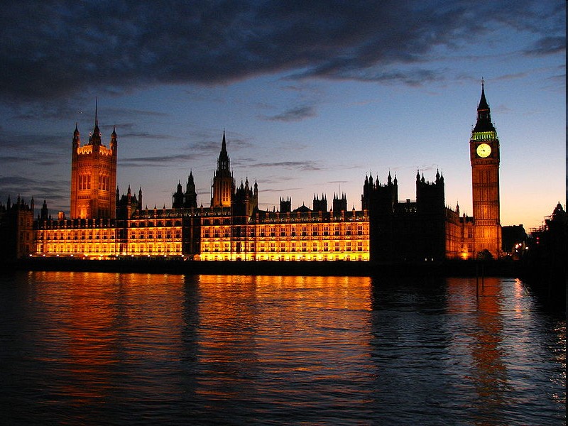
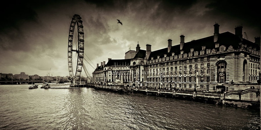
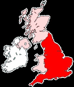
4 million. The capital is London. Other biggest cities include Birmingham, Bristol, Portsmouth, Glasgow and Swansea. English is the main language of Great Britain, but Welsh is officially recognized in Wales and Gaelic in Scotland. 2. Geographical position The British Isles is the geographical term for a group of about 5000 islands off the coast of mainland Europe. The largest island is Great Britain, which is also the largest island in Europe. It consists of England, Wales and Scotland. The next largest island is Ireland, which is made up of Northern Ireland and the Irish Republic. Britain and Northern Island together form the United Kingdom. When referring to Britain or Great Britain in everyday life, the names are used to mean the United Kingdom. The English Channel (and best known: the Strait of Dover) separate Britain from mainland Europe and its closest neighboring country France. 3. History
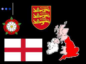
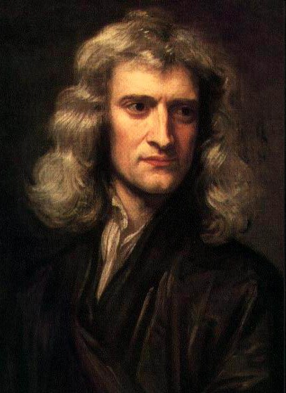
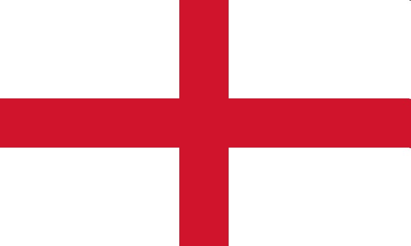
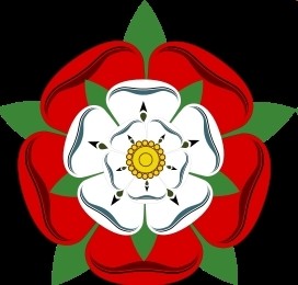
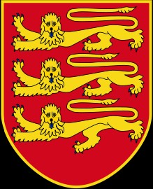
Wars. Engand and Scotland eventually became 1 contry 4. How many people approximately speak English? Approximately 600 million 5. Who (which tribes) gave the base of the English language?Germanic tribes- Anglo-Saxons. 6. Describe Wales.- Wales is a mountainous country on the western side of Great Britain. The national game of Wales is Rugby. Flag- Red dragon on a green and white field. They have their own language Cymraeg ( Welsh) . Anthem- Land Of My Fathers. Official animal- Dragon. There used to be a lot of coalmines. 7. What are the symbols of the 4 constituent countries? England- The three national symbols of England are St.George's cross; The red Rose and the Three Lions Crest; The oak is national tree; Northen Ireland- Shamrock; St.Patrick ;Scotland-thistle, St.Andrew 's cross . ; Wales-daffodil, leek, Prince of Wales's feathers; St.David, red dragon 8. How did the Romans influence Britain
The United States of America is located on the continent of North America. It has borders with two countries Mexico and Canada. There are also the Atlantic Ocean, the Pacific Ocean and the Gulf of Mexico surrounding the big country. There are 50 states in America. Most of the people live in towns. The biggest state is Alaska; next by size are California, Alaska and Montana. Six states - Maine, Vermont, New Hampshire, Connecticut, Rhode Island and Massachusetts are called New England. They are all small states in the USA that lie in the north- east. The first colony of immigrants settled down in Virginia, in the eastern part of the USA. 3. Relief The USA is situated in the central part of the North American continent. Its western coast is washed by the Pacific Ocean and its eastern coast is washed by the Atlantic Ocean and in the south its coast is washed by the Gulf of Mexico. The coastline is even. There are no big islands
Geography A ring of coastal mountains surrounds low central plains. The highest peak is Carrauntuohill , which is 1,041 m. The island is bisected by the River Shannon, at 386 km (240 miles) the longest river in Ireland. The island's lush vegetation, a product of its mild climate and frequent but soft rainfall, earns it the sobriquet "Emerald Isle". The island's area is 84,412 km². Ireland is divided into four provinces: Connacht, Leinster, Munster and Ulster. Ireland's least arable land lies in the south-western and western counties. These areas are largely spectacularly mountainous and rocky, with beautiful green sights. Ireland is sometimes referred to as being part of the British Isles. However, notwithstanding the level of acceptance of the term within Northern Ireland, exception is taken by many Irish people to the extension of this nomenclature to include Ireland due to the perception that it implies an identity at odds with historical, cultural and political reality
This fact, coupled with the grandeur of the landscape, has been central to the sense of Canadian national identity. 2. Geographical position Canada is the second largest country in the world after Russia. In the Arctic, Canada reaches almost as far north as Greenland. To the south it extends to the same latitude as southern France. The distance from Canada's west coast, the Pacific Ocean, to its east coast, the Atlantic Ocean, is farther than from North America to Europe. Canada's total land area includes thousands of adjacent islands, notably Newfoundland in the east and those of the Arctic Archipelago in the north. In longitude Canada extends from approximately 52° to 141° W, a distance that spans six time zones. In latitude it extends from approximately 42° to 83° N. With its vast Arctic and subarctic territories, Canada is often considered a country only of the far north; however, the peninsula of southern Ontario juts deeply south into the heartland
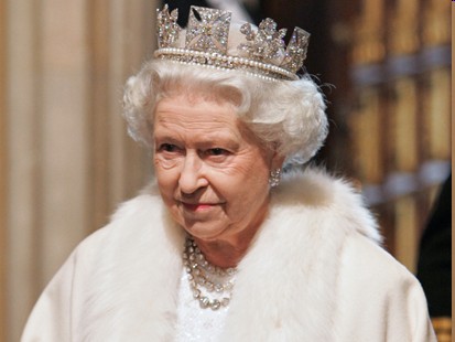
........... 8 Population and Ethnicity..............................................................................................9 3 Introduction The official name of the country is the United Kingdom. The United Kingdom is an island country. It consists of the island of Great Britain and Northern Ireland. Great Britain can be divided into three parts England, Wales and Scotland. Each of them has their own capital city. Glasgow in Scotland, Cardiff in Wales and London in England. The country is situated in the north-western Europe. The territory of the United Kingdom is about 244,000 square kilometres and about 60 million people live there. The UK contains a number of small islands. The largest islands that belong to the United Kingdom are the Isle of Man in the Irish Sea and the Isle of Wight which lies off of England's southern coast


Kõik kommentaarid