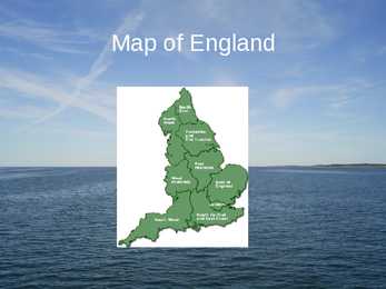
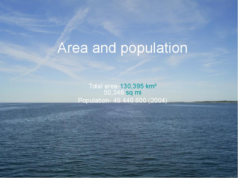
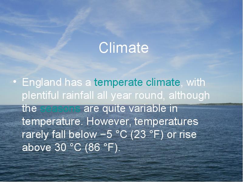
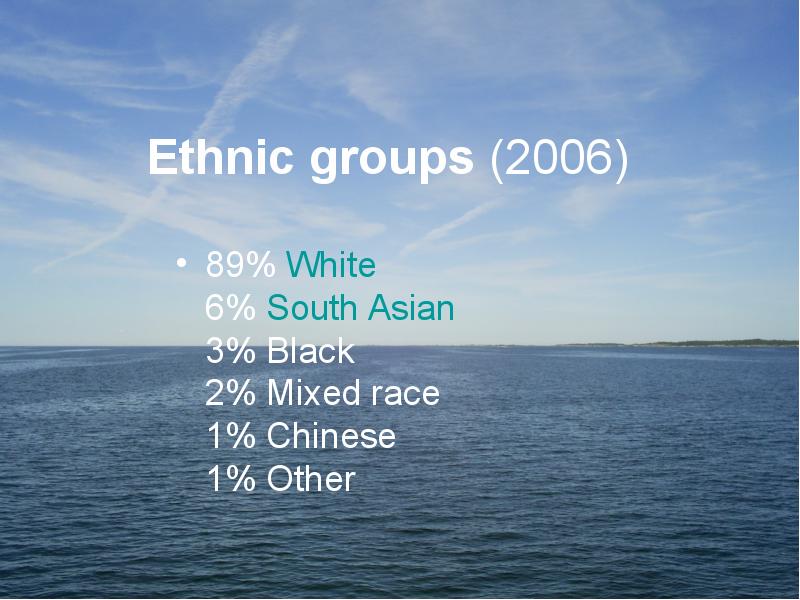
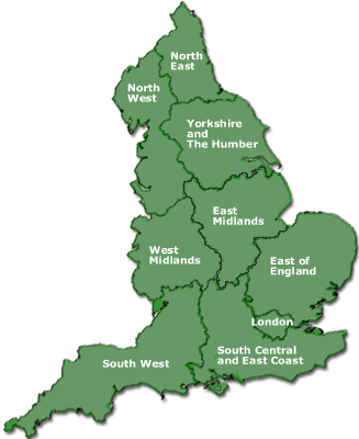
ENGLAND England is a country that is part of the United Kingdom. It shares land borders with Scotland to the north and Wales to the west; it is surrounded by the Irish Sea, the Celtic Sea, the North Sea and the English Channel, it's linked to Frane by the Channel Tunnel. The total area of the country is more than 130000 sq km. Most of England is lowland, but there are upland regions in the north, south and south west. The climate is temperate, subject to frequent changes, with plentiful rainfall all year round, although the seasons are quite variable in temperature, it rarely falls below -5 or rises above +30 degrees. The longest river, the Severn, flows for 354km. England's capital London, is the largest metropolitan area in the United Kingdom, drawing from a wide range of people, cultures and religions, speaking over 300 different languages, mixing their culture, traditions, music. It is the largest urban zone in t
Tallinna Inglise Kolledz Australia Topic Alice Tärk, 8b. Tallinn 2007 Table of contents: Factfile............................................................................................. ................................. Symbols.......................................................................................... ....................................Head of State................................................................................................ ................... Government....................................................................................... ............................... History............................................................................................. .................................. Relief................................................................................................ .................................. Geographical
BRITISH NATIONAL SYMBOLS Research work CONTENTS CONTENTS.....................................................................................................................................2 INTRODUCTION............................................................................................................................3 1. BRITISH NATIONAL SYMBOLS..............................................................................................5 1.1 Great Britain and British story................................................................................................5 1.2 National Symbols and Nation Building..................................................................................5 1.3 The Use of Flags throughout History.....................................................................................6 1.4 The Early Modern Flags. United Kindom: Union Jack..........................................................8 1.5 National Flags as Pol
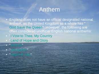
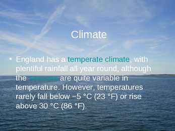
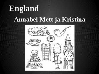
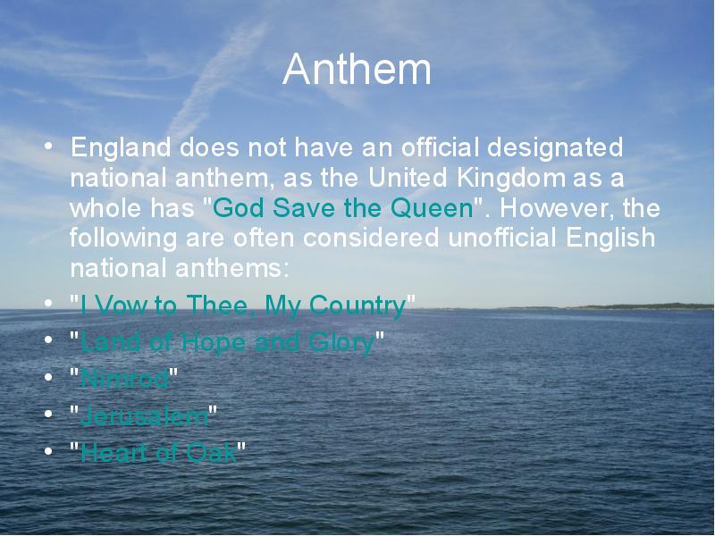
England Annabel Mett ja Kristina Smirnova 8.b Englands Geography · England is a part of the United Kingdom of Great Britain, its an island situated off the North West coast of Europe. · Bordered by Scotland in the north, the North Sea in the east, the England Channel in the south and Wales in the west. · Most of England is rolling hills. · Scafell Pike is the highest mountain in England with an elevation of 978 meters. Key Facts on England · Major Cities: London-Leeds-Liverpool-Manchester. · Capital: London with a population of 7,556,900. · Population: 51,446,000 inhabitants. · Geographic size: 130,395km². · National Anthem: None. God Save the Queen, Land of Hope and Glory. · Currency: Pound sterling (GBP). · Distribution: Males: 48,7% Females: 51,3% Climate of England · England has a temperate climate, with mild winters with temperatures not much lower than 0 C,
khTallinn English College The United Kingdom Topic Mari-Liis Pakats Tallinn 2008 2 Table of Contents Introduction..................................................................................................................4 Geographical Position .................................................................................................4 History .........................................................................................................................4 Government..................................................................................................................5 Queen Victoria.............................................................................................................5 Relief............................................................................................................................6 Climate .....................................
Australia Australia is the only country in the world that covers an entire continent, yet also the smallest and the driest of all the continents. It's almost the same size as continental USA, being the sixth largest country in the world. It's also the oldest some of the rocks are more than 3,000 million years old. Australia is often called `Down Under', because it lies in the Southern Hemisphere. As a result, its seasons are the opposite of ours. Australia, Tasmania and a number of smaller islands form the Commonwealth of Australia. Because of the country's great size, the climate in Australia ranges from tropical regions of the Northern Territory to the cool temperate conditions in the southeast and Tasmania, where it often snows in winter. In the north, half the year is `wet' and half is `dry'. From November to April heavy rain fills the rivers and makes enormous lakes where thousands of birds come for the summer. From May to October it is often sunny and dry for weeks, and it is
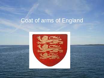
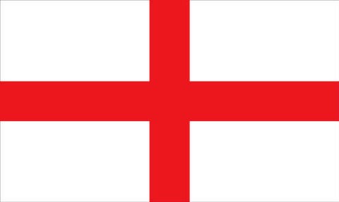
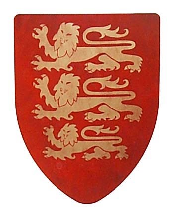
1. What are the capitals of the 4 constituent countries? England- London; Northen Ireland- Belfast; Scotland- Edinburgh; Wales- Cardiff 2. Order the invaders in correct chronological order: Anglo-Saxons, Normans, Romans, Celts. Romans Anglusaxons , Norman 3. How did the Celts influence Britain? Language. Wars. Engand and Scotland eventually became 1 contry 4. How many people approximately speak English? Approximately 600 million 5. Who (which tribes) gave the base of the English language?Germanic tribes- Anglo-Saxons. 6. Describe Wales.- Wales is a mountainous country on the western side of Great Britain. The national game of Wales is Rugby. Flag- Red dragon on a green and white field. They have their own language Cymraeg ( Welsh) . Anthem- Land Of My Fathers. Official animal- Dragon. There used to be a lot of coalmines. 7. What are the symbols of the 4 constituent countries? England- The three national symbol
Tallinn English College Topic Estonia Tallinn 2008 1. Introduction Estonia is a small country about the size of Switzerland, or New Hampshire and Massachussetts combined. Estonia is named after the people called "Ests" who lived in the region in the 1 st century AD. The Republic of Estonia is one of the three countries commonly known as the "Baltic States". The other Baltic States are Latvia and Lithuania. 2. Geographical position Estonia is situated in northeastern Europe. Estonia is bounded on the north by the Gulf of Finland, on the east by Russia, on the south by Latvia and on the west by the Baltic Sea. In the north it borders on Finland. The coastline of the Baltic Sea in Estonia is characterized by numerous gulfs and bays, the biggest of them being the Gulf of Finland, the Gulf of Riga and the Gulf of Pärnu. Bays include the Narva Bay, Matsalu Bay, Kolga Bay, Kunda Bay, Tallinn Bay etc. Estonia has over 1500 islands, the largest being


Kõik kommentaarid