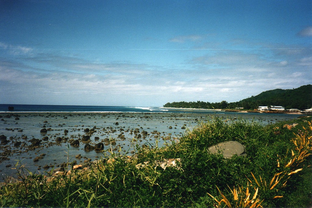
NEW ZEALAND Geography: New Zealand is situated midway between the Equator and the South pole in the southern Pacific Ocean. It consists of two large islands, North Island and South Island, plus several smaller ones of which Stewart Island is the largest. North and South Islands are separated by the 32km wide Cook Strait. The total land area is 270,535 sq Km, about the size of Italy, the United Kingdom or the US state of Colorado. North Island is volcanically active with three active volcanoes. South Island has the high snow covered mountain peaks and glaciers of the Southern Alps, a range running almost 500Km along the Island. The longest river is the Waikato on North Island (425 Km), the largest inland stretch of water is Lake Taupo also on North Island (607 sq Km) and the highest point is Mount Cook on South Island (3754 m). Over 75% of New Zealand is above 200m.
Commonwealth of Australia. It’s the official name of the country. Australia is the smallest continent, but one of the largest countries on Earth. It’s 6th largest country. Its area is about 7.6 million sq km. One third of it is occupied by deserts. It’s both the flattest and, except for Antarctica the driest. Neighbouring countries include Indonesia, East Timor and Papua New Guinea in the north, the Solomon Islands, Vanuatu in the northeast, and New Zealand in the southeast. Its capital is Canberra. Other big cities are Melbourne, Sydney, and Brisbane. National language in Australia is English. Monetary unit is Australian dollar. Their national holiday is on the 26th of January. In 1788 on the 26th of January the first fleet arrived at Botany Bay and established a penal colony near modern-day Sydney. Geographical Position Australia is located in the Southern Hemisphere. It’s the
Topic Australia Tallinn English College 2006 Australia 1 . Introduction The name Australia is derived from the Latin Australis, meaning of the south. In land area, Australia is the sixth largest nation, its territory is 7,686,850 sq km and its population reaches today over 20,5 million people. It is the only nation to govern an entire continent and its outlying islands. Australia's capital is Canberra, the only city with its own territory. It was built in the early 1900s just to be the capital. The official language is English and the official name of Australia is the Commonwealth of Australia. Australia is located on the Southern Hemisphere (because of that Australia is also called "A land down under"). 2 . Geographical position
Bush. 2. Geographical position The United States of America is located on the continent of North America. It has borders with two countries Mexico and Canada. There are also the Atlantic Ocean, the Pacific Ocean and the Gulf of Mexico surrounding the big country. There are 50 states in America. Most of the people live in towns. The biggest state is Alaska; next by size are California, Alaska and Montana. Six states - Maine, Vermont, New Hampshire, Connecticut, Rhode Island and Massachusetts are called New England. They are all small states in the USA that lie in the north- east. The first colony of immigrants settled down in Virginia, in the eastern part of the USA. 3. Relief The USA is situated in the central part of the North American continent. Its western coast is washed by the Pacific Ocean and its eastern coast is washed by the Atlantic Ocean and in the south its coast is washed by the Gulf of Mexico. The coastline is even. There are no big islands
To find Dalla s follow th ese steps . at. The ligh t blue ta bs tell you the subjects of the CUlCO, Peru 78 13'3 2'5 71'S6'W 1. Look up Dallas in th e index a t th e sur ro un ding m ap spreads. If, for example, you Cyclades,Islands 85 37'OO'N 2S'OO'E Cyprus,country, 96 3S'OO'N 33' OO'E en d of thi s book. are loo king at the World Clim ate map and would Cyprus, Island 97 3S'OO'N 33'OO'E Cyrenaica,region 91 2S'OO'N 24'OO'E 2. T he index tells you th at D alla s is a lik e to co mpare it to th e World Vegeta tio n m ap, Czech Reo.. country 84 49'OO'N lS'OO'E city in Texas and that it can be you can use the tabs to find that map q uickly found on page 50
FDI for the period of January September 2012 (3 quarters) amounted to USD 2.6 billion, which was 29.4% down year of a year. Investments came from 129 countries and regions. The ten largest investor countries, which account for over 82% of total FDI, are Cyprus with $15.076 billion in investment, Germany with $7.4 billion, the Netherlands with $5.04 billion, Russia with $3.71 billion, Austria with $3.3 billion, the United Kingdom with $2.4 billion, the British Virgin Islands with $1.81 billion, France with $1.8 billion, Sweden with $1.58 billion, and Switzerland with $1.09 billion. Industrial enterprises received $16.866 billion in investment, which was 32% of total FID in Ukraine. In particular, $13.936 billion was invested in the processing industry $1.51 billion in the production and distribution of electricity and gas, and the water supply, and $1.424 billion in the mining industry.
пособия. Пособие предназначено для студентов гуманитарных специальностей. Подготовлено на факультете лингвистики. The book contains an overview of the most important events in British history – from the first documented invasions of the island to the formation and fall of the British colonial empire. A series of exercises will help to remember the subject matter, practise the vocabulary and contribute to skills work. The book is intended for the Humanities students. Вавилов Н.А., 2008 3 4 Contents 5 ПРЕДИСЛОВИЕ
Investor's Handbook A Legal Guide to Business in Georgia · Start Up · Privatization · Labor Legislation February 2011 1st Edition 1 CYAN MAGENTA YELLOW BLACK 1 This brochure is a publication by the Georgian National Investment Agency (GNIA) and was prepared by Georgian law firm Mgaloblishvili, Kipiani, Dzidziguri (MKD). The Brochure is intended to be a general guidance on start up, privatization and labor relations. It is thus not expected to be a substitute for detailed research or exercise of professional judgment on above mentioned topics. Companies and individuals operating in Georgia or planning to operate, are strongly advised to obtain current and detailed information from experienced professionals. None of the organizations mentioned above, nor their members, employees or agents accept liability for the consequences


Kõik kommentaarid